 Maps & Geography
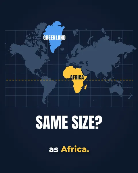
Why does Africa look so small on maps?
Africa looks small because most world maps use the Mercator projection, drawn in 1569 for sailors. It keeps compass courses straight, but it stretches land more the farther it lies from the equator. Africa sits across the equator and grows far less, while Greenland, Europe and North America swell. In reality Africa is about 14 times bigger than Greenland.